Most ports and marinas have access channels and anchorages subject to silting or other phenomena, such as the movement of blocks (breakwaters) or the fall of transported cargo, which thus reduces the height of water available for maritime transit.
Hydrographic surveys are carried out primarily to support the safe navigation of vessels, allowing ports/marinas to operate with the minimum under-keel clearance that must be maintained by a vessel in transit.
To satisfy the growing demands of the nautical market, in terms of volume and efficiency, vessels are becoming larger and, when subjected to maximum load, the clearances under the keel decrease.
Port authorities are responsible for maintaining the service level of their ports - in terms of port use and the size of ships that the ports accommodate - and this maintenance duty covers a number of specific requirements, including the execution of hydrographic surveys in accordance with appropriate standards and by suitably qualified personnel.
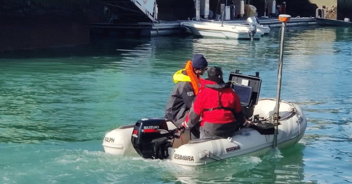
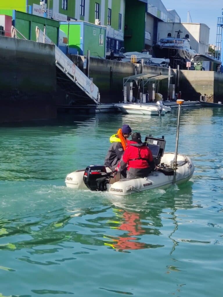
The widely accepted method for obtaining depth data is the acoustic sounder (single-beam or multi-beam), with position provided by GNSS (Global Positioning System). This methodology allows the effective identification of navigation risk areas, or dangers, which can also be assessed using Side-Scan Sonar, which allows the detection of objects on the bottom.
The type and extent of hydrographic surveys required to support safe navigation in a given port/marina should be determined through a risk assessment, which should address the minimum level of skills required by those responsible for conducting that work.
The professional hydrographer qualification is normally obtained by completing an OHI/FIG/ICA Category A or B course.
These courses provide international recognition of a high level of skills, which may be required for a specific port or port environment.
The Albufeira Marina is an infrastructure to support recreational navigation, with direct access to the sea through a small navigation channel, which also serves the small fishing port in that location.
When conducting the Order 1b Hydrographic Survey, na hydrographic surveyor from LS-Engenharia Geográfica and other specialized collaborators were present, who also assisted in the operation of a Side-Scan to detect possible sunken objects.