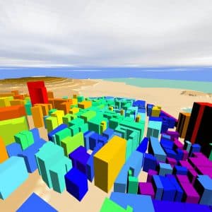
Geographic Information Systems (GIS) are defined as an automated systems used to process, store, analyse and manipulate geographic data, providing all the resources an organisation needs to take advantage of that data and efficiently visualise information through maps. In the industrial and commercial sphere, the use of this technology translates into time and money savings as a result of greater efficiency and better decisions.
Through the use of dedicated techniques, it is possible to carry out spatial analysis and study the organisation of geographical entities relating to a given phenomenon, to predict the behaviour of these phenomena in places where no direct observations have been made, and to employ visualisation techniques to facilitate data interpretation.


