GroMSAR
Ground Motion Satellite Analysys and Research
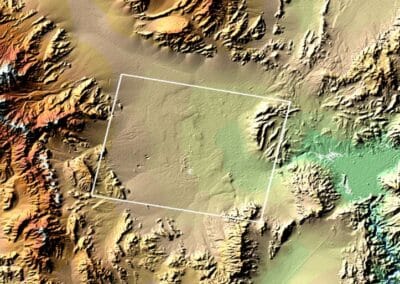
GroMSAR (Ground Motion Satellite Analysys and Research) is a project under development with the purpose of producing digital elevation models from RADAR images, in large geographical areas, and which will also enable the geometric control of deformations in large infrastructures of engineering, such as ports, airports and dams, measuring small displacements using InSAR (Interferometric Synthetic Aperture Radar) methodologies.


