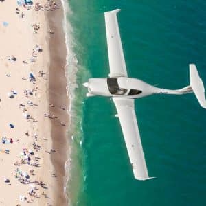
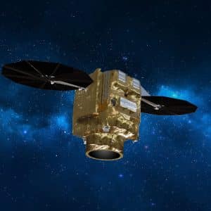
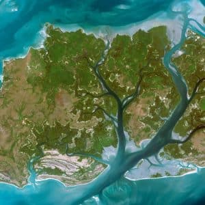
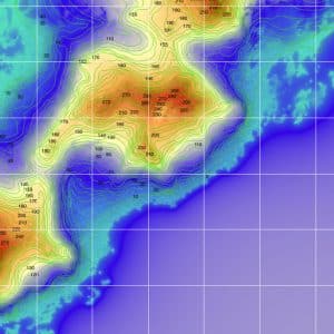
Remote sensors are distinguished according to the type of information that is captured, electromagnetic waves being particularly interesting in the study of various phenomena, since the electromagnetic radiation reflected or emitted by the Earth is captured by sensors from aerial or orbital platforms and translated into multispectral images. Furthermore, remote sensors also make it possible to acquire other types of images through radar technology. With this information, it becomes possible to create extremely important and useful cartographic elements in various domains. Among the best-known orbital platforms (satellites), Landsat, Sentinel and Quickbird stand out.
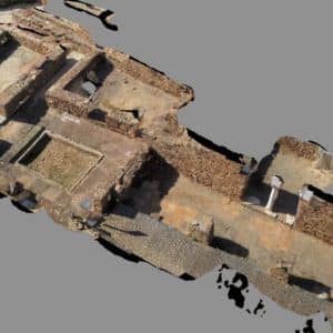
Another use of remote sensors is the capture of photographs for photogrammetric purposes. The use of this technique in relation to other traditional measuring methods, translates into numerous advantages, such as the collection of photographs relatively quickly, the availability of a dense record of information with coverage of large areas, the evaluation of dynamic phenomena and inaccessible objects and also the updating of cartography in reduced time.

